ADDRESS
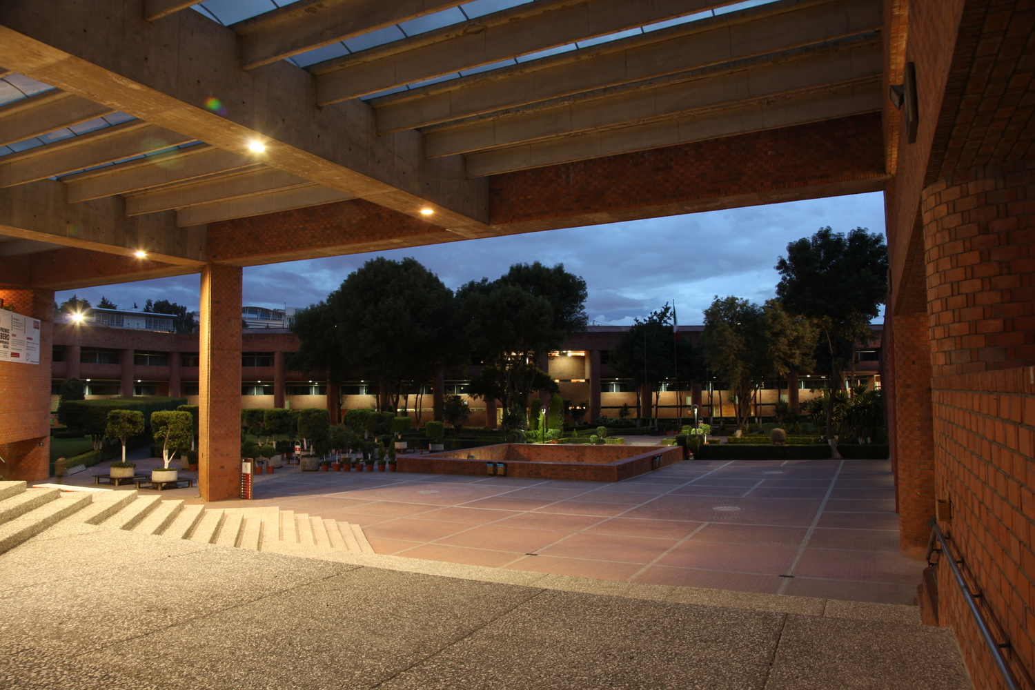
Universidad Iberoamericana
Prolongación Paseo de Reforma 880, Lomas de Santa Fe, México, C.P. 01219, Ciudad de México.
https://ibero.mx/

The Universidad Iberoamericana is located to the west of Mexico City, specifically in the Santa Fe area. To get there, there are public transportation options from various parts of the city. Here is a list of some of the most used:
Important: In all cases, the descent points are on Av. Vasco de Quiroga
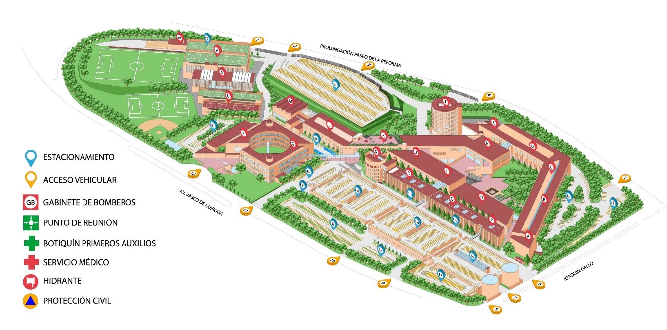
• Door E12 of the Ibero (for pedestrian visitors)
• Gate E11 of the Ibero (for visitors by car)
| Metro Balderas Line 1 (Pantitlán-Observatorio) y Line 3 (Indios Verdes-Universidad) On Tolsá Street, one side of the Ciudadela |
Santa Fe Commercial Center | RTP Eco Bus |
| Metro Tacubaya Line 9 (Pantitlán-Tacubaya) Exit Av. Jalisco left Iturbe |
Sta. Rosa Xochiac |
RTP buses |
| Metro Tacubaya Line 9 (Pantitlán-Tacubaya) Exit Av. Jalisco left. Arq. Carlos Lazo |
Santa Fe Commercial Center | Microbuses or colective buses |
| Metro Observatorio Line 1 (Pantitlán-Observatorio) Exit at last stop in front of the Bus Terminal Poniente (TAPO) |
Santa Fe Commercial Center | Microbuses or colective buses |
| Metro Villa de Cortés Line 2 (Tasqueña-Cuatro Caminos) Exit Plaza Victoria y Calzada de Tlalpan |
Santa Fe Commercial Center | Microbuses or colective buses |
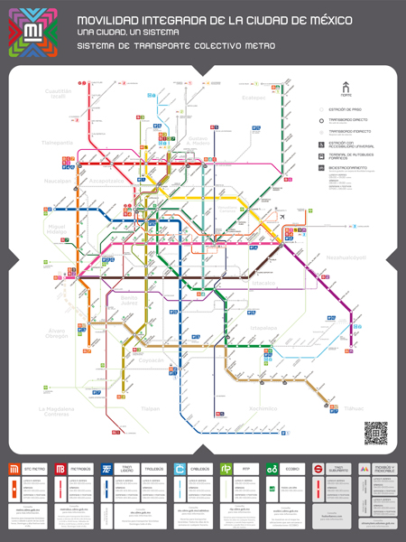
Map of the RTP transportation system routes
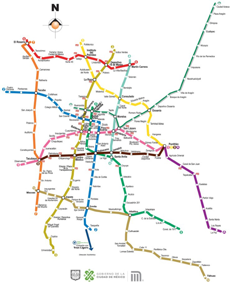
Map of the Metro Collective Transportation System
- Information
- Organisation
- Call for papers
- Instructions for authors
- Paper submission
- Submission Phase 2
- Presentations and posters
- Scientific Committee
- Programme
- Plenary sessions
- Important dates
- Registration
- Location
- Accomodation
- Social Programme
- Travel
- Sponsors and Support
- Conference Image
- Contact
- Editions and proceedings